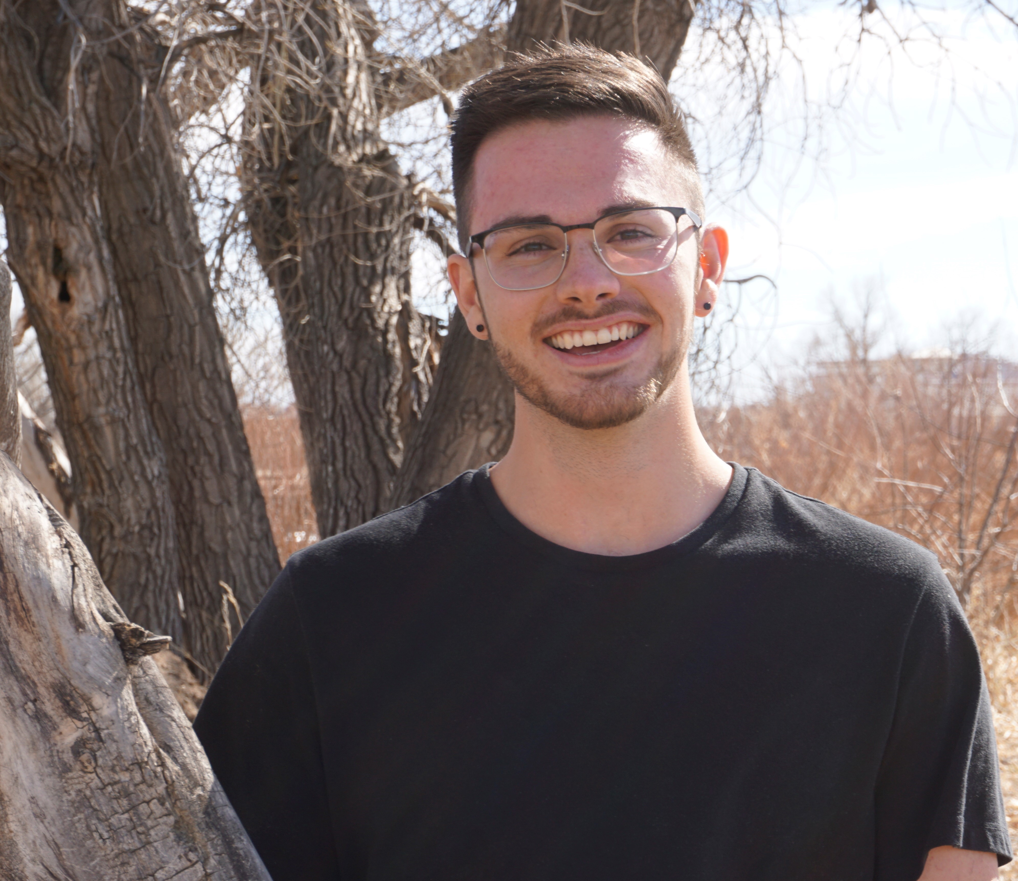
Overview
I am passionate about developing novel applications of remote sensing for monitoring natural resources.

Education
- B.S in Ecosystem Science and Sustainability from Colorado State Unviersity - 2018
- M.S in Forest Science from Colorado State University - 2020
Work Experience
Unmanned Aerial Systems (UAS)
- Licensed FAA part 107 UAS pilot since 2018
- Flight Planning and Airspace Clearance
- High Accuracy Ground Control Planning And Collection
- Multitemporal RGB and Multispectral Image Collection
- Photogrammetry Processing (Agisoft Metashape, RealityCapture)
- Structure from Motion Point Cloud Processing (ground classification, filtering, rasterization)
- Point Cloud Feature Extraction (individual tree height, crown area, and DBH detection)
- Stand Level Forest Structure Characterization (tree count estimates, basal area, above ground biomass)
Satellite Remote Sensing Data
- NASA-GEDI Waveform Spaceborne LiDAR
- NASA-ICESat-2 Photon Spaceborn LiDAR
- NASA-Landsat Time Series Generation
- NASA SRTM Topography Metrics
- Sentinel-1 C-Band Synthetic Apperature Radar
Applications of Remote Sensing